How to use this map?
Welcome to DRA’s Interactive Polling Place Accessibility Map. You can use this map to check the accessibility of polling places across that state and see if they meet the standards mandated by the Americans with Disabilities Act.
We are making this information available for several reasons:
- So that Arkansans with disabilities can check their polling place ahead of time to see if there will be any barriers to entry and contact county officials about fixing any issues.
- So that those who live in a county that uses voting centers instead of traditional polling places can plan ahead of time to go to the voting center that will best meet their needs.
- As a tool for county officials to use in order to see where they might need to strengthen accessibility in their polling places.
This map is a work in progress and we will continue to add more polling places and update others as time goes on. If you are a voter or county official with any questions or concerns about what you see on the map, please contact us at voting@disabilityrightsar.org

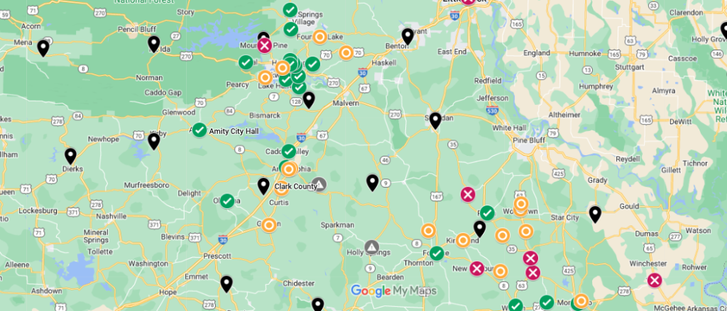
How the legend works:
*Green Check means no accessibility issues were found.
*Orange O means that 1-3 issues were found. We consider this somewhat accessible. If you would like to use this location, please review the issues and see how you can best proceed.
*Red X means that the location had 4 or more issues. We consider this inaccessible. If you would like to use this location, please review the issues and see how you can best proceed.
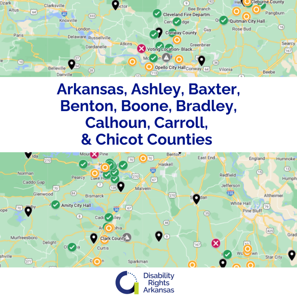

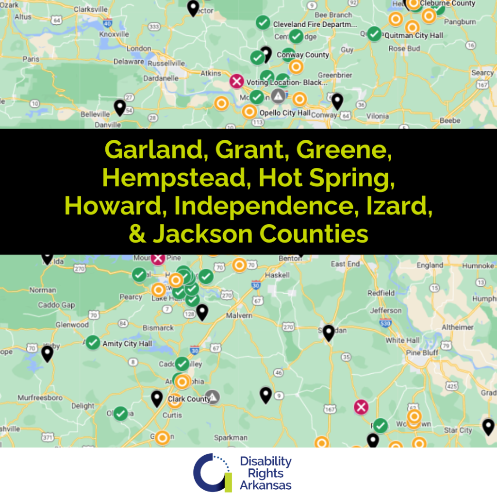
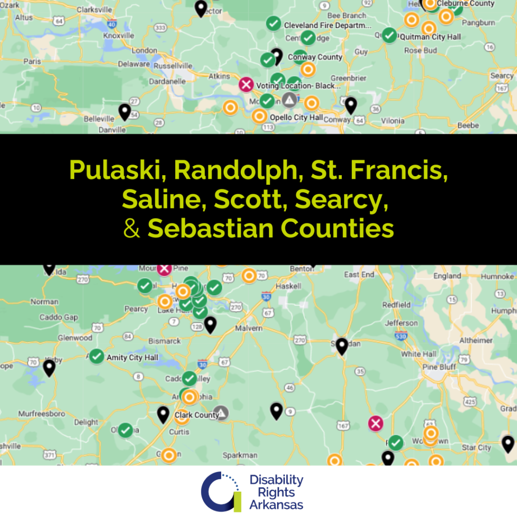
Each county available is named within the image. Select the one that lists the county you would like to review.
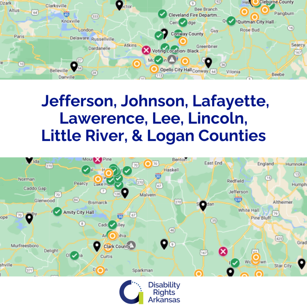
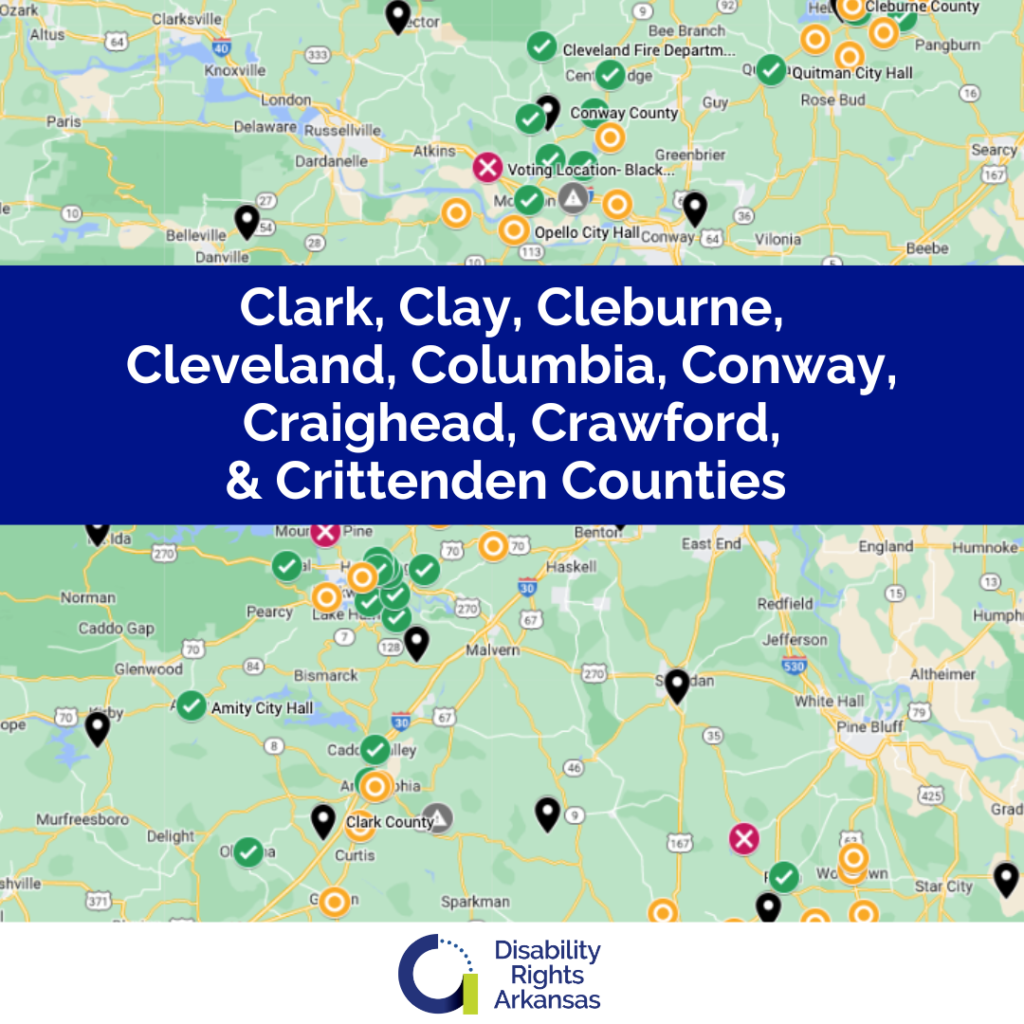
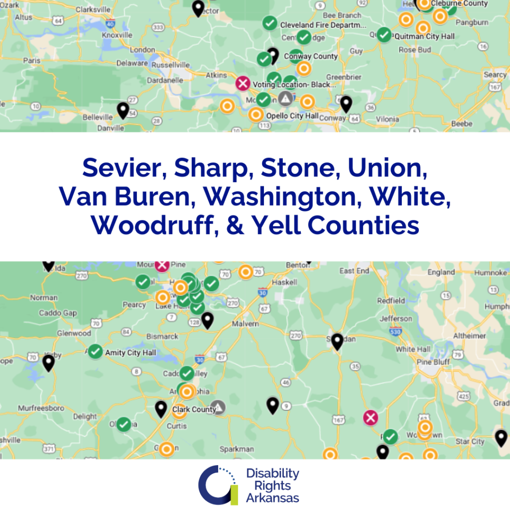
Each county available is named within the image. Select the one that lists the county you would like to review.
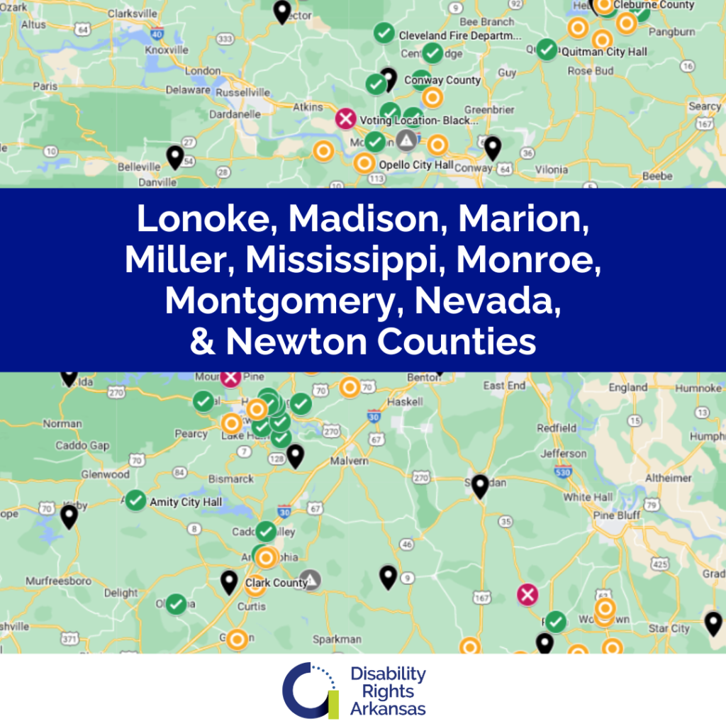
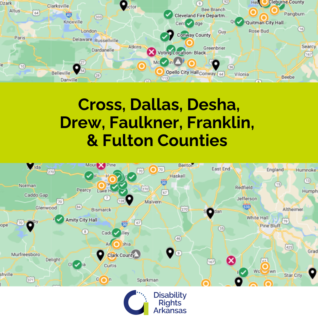
Each county available is named within the image. Select the one that lists the county you would like to review.
How did we gather the data?
The data for our Interactive Polling Place Map comes from an ongoing series of surveys conducted by members of DRA staff, the survey tool we use is adapted from the ADA checklist on polling place accessibility promulgated by the US Department of Justice.
We conduct our surveys throughout the year, which means that our results are focused on the exterior of the polling places as access to the inside with the voting equipment set up is not possible in all cases. This also means that any temporary modifications, such as extended door handles or temporary ramps, which are used by county officials on election day will not be taken into account in our surveys. This is why if you are a voter using our map and you see an issue with your polling place you should contact your county election officials to determine if the issue is something they are already aware of and have developed a workaround for. The map is meant to be an evolving tool and we can update entries as we gather more information.
In order to find all of the polling places we are using the list posted on the Arkansas Secretary of State’s website here: Arkansas Secretary of State. If you are a county official and you see a location on our map that is no longer in use as a polling place, or if you want to inform us of a new location that is not on the map, please contact us at voting@disabilityrightsar.org